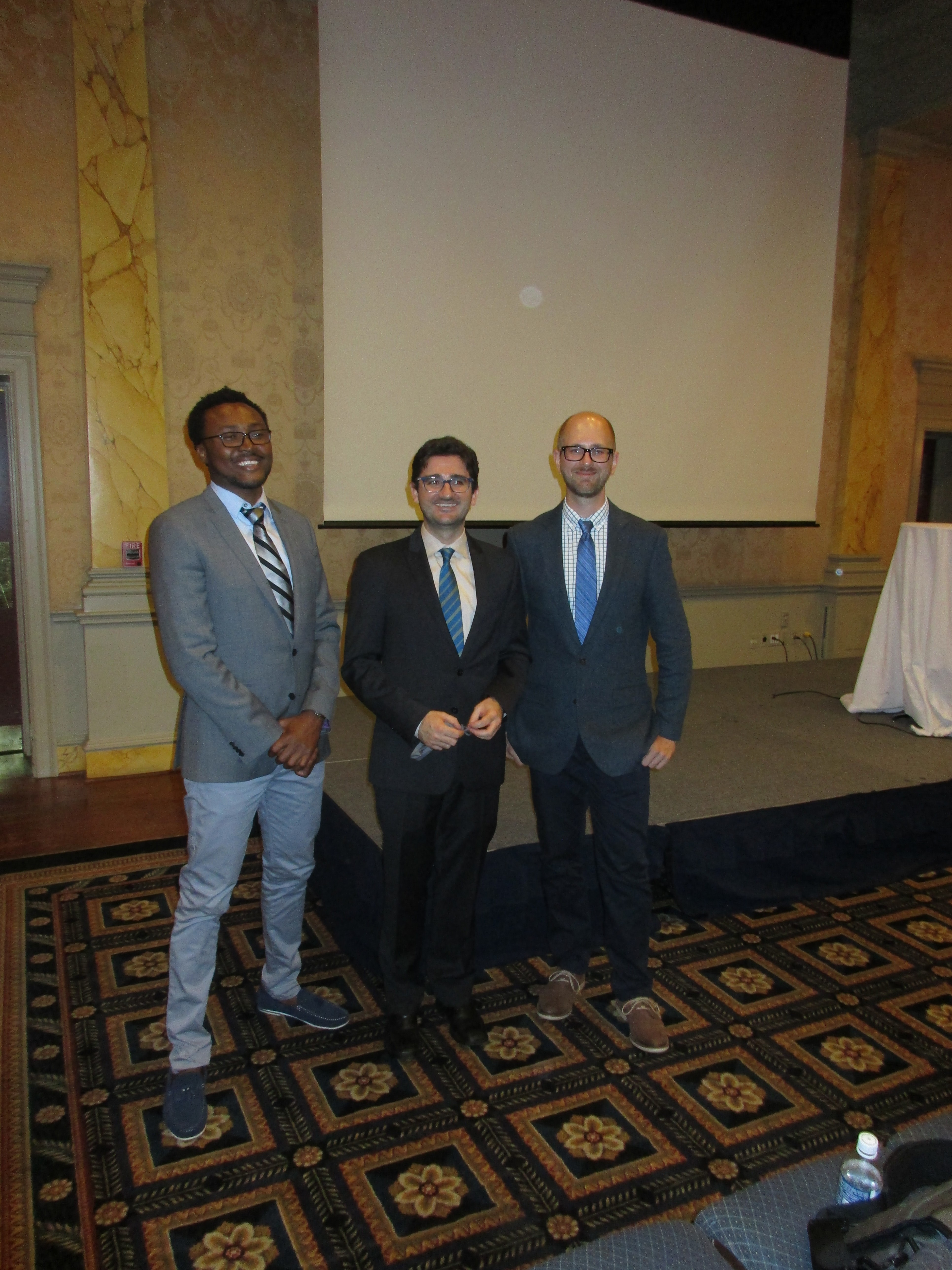
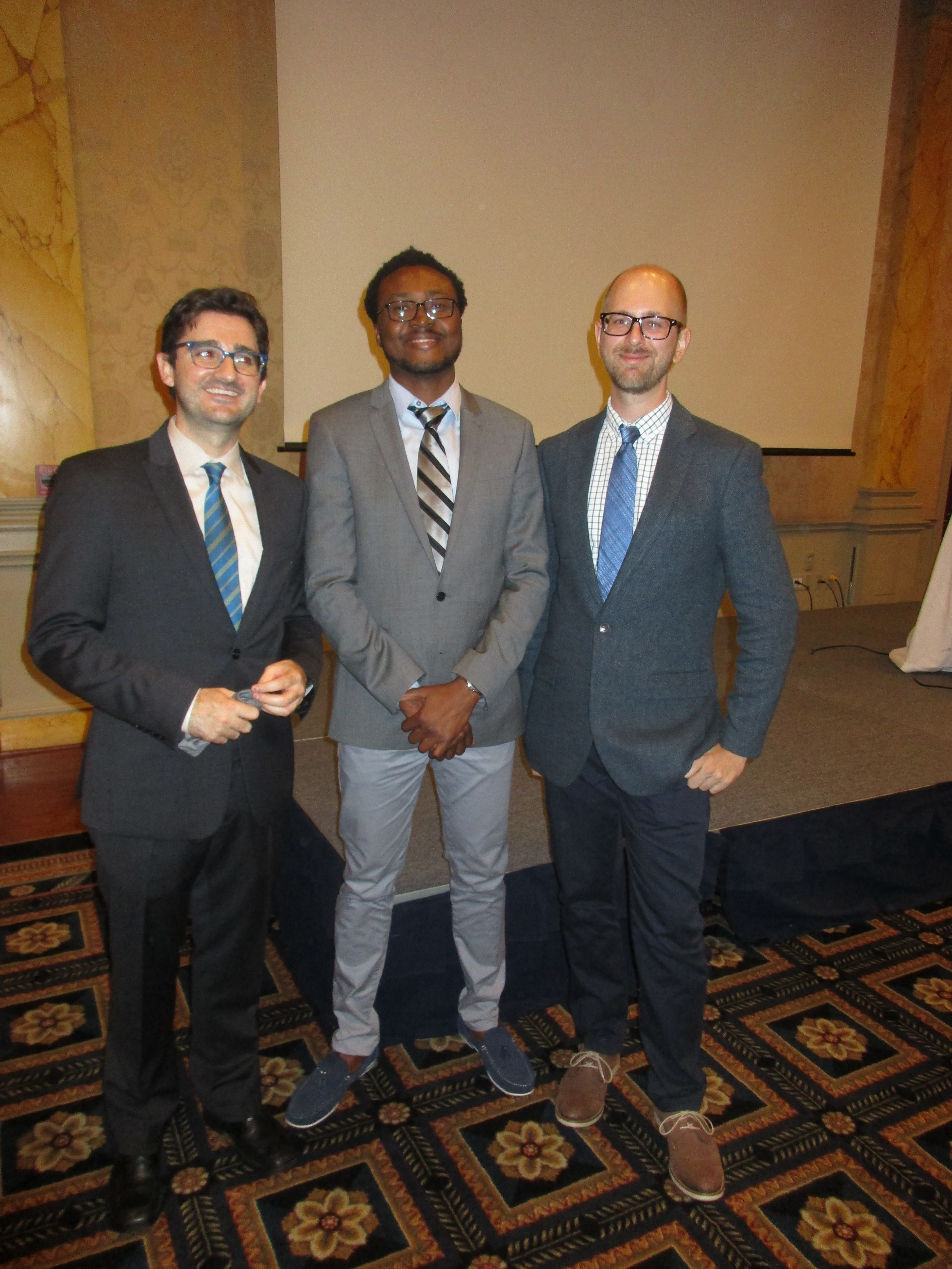
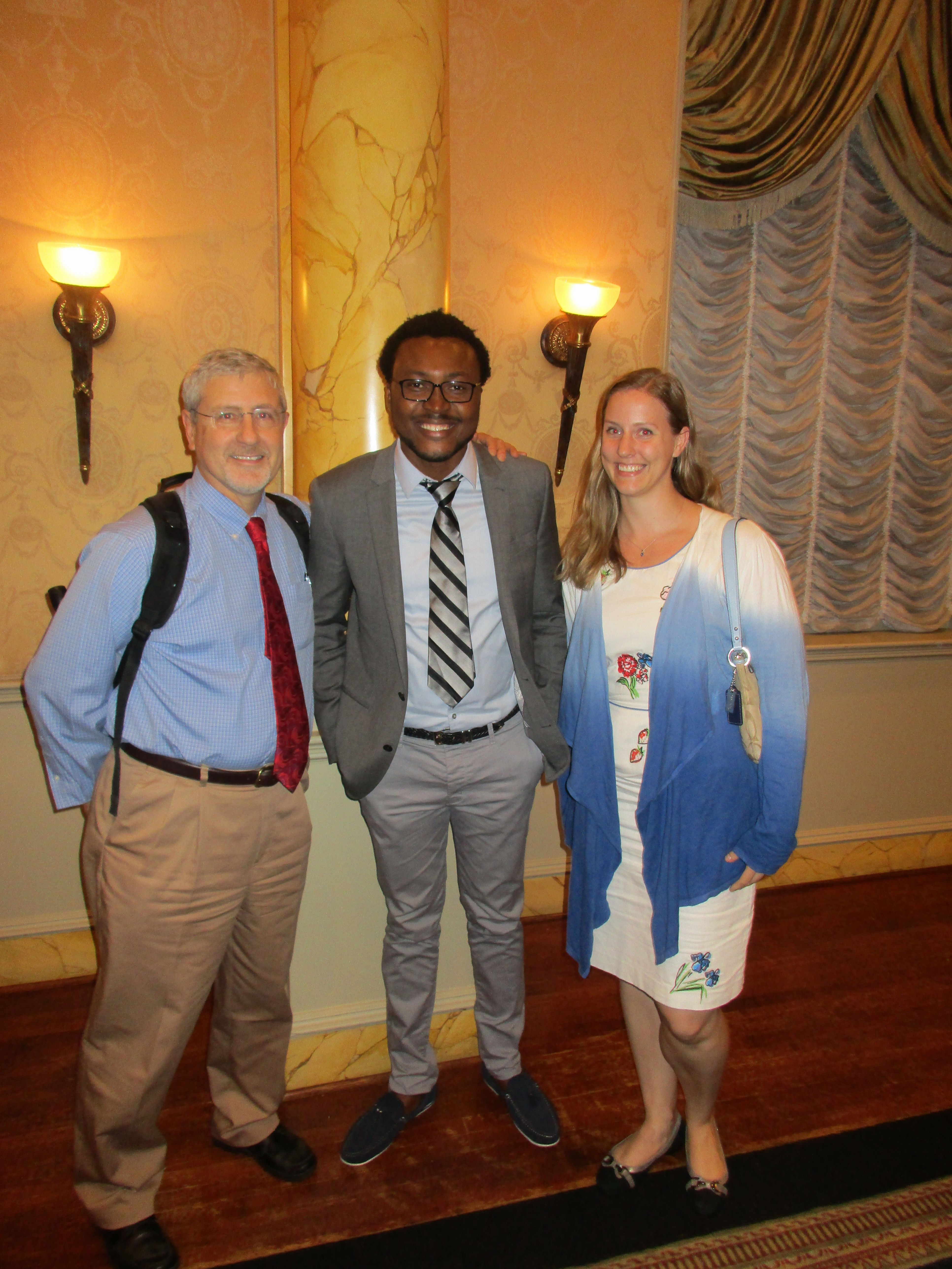
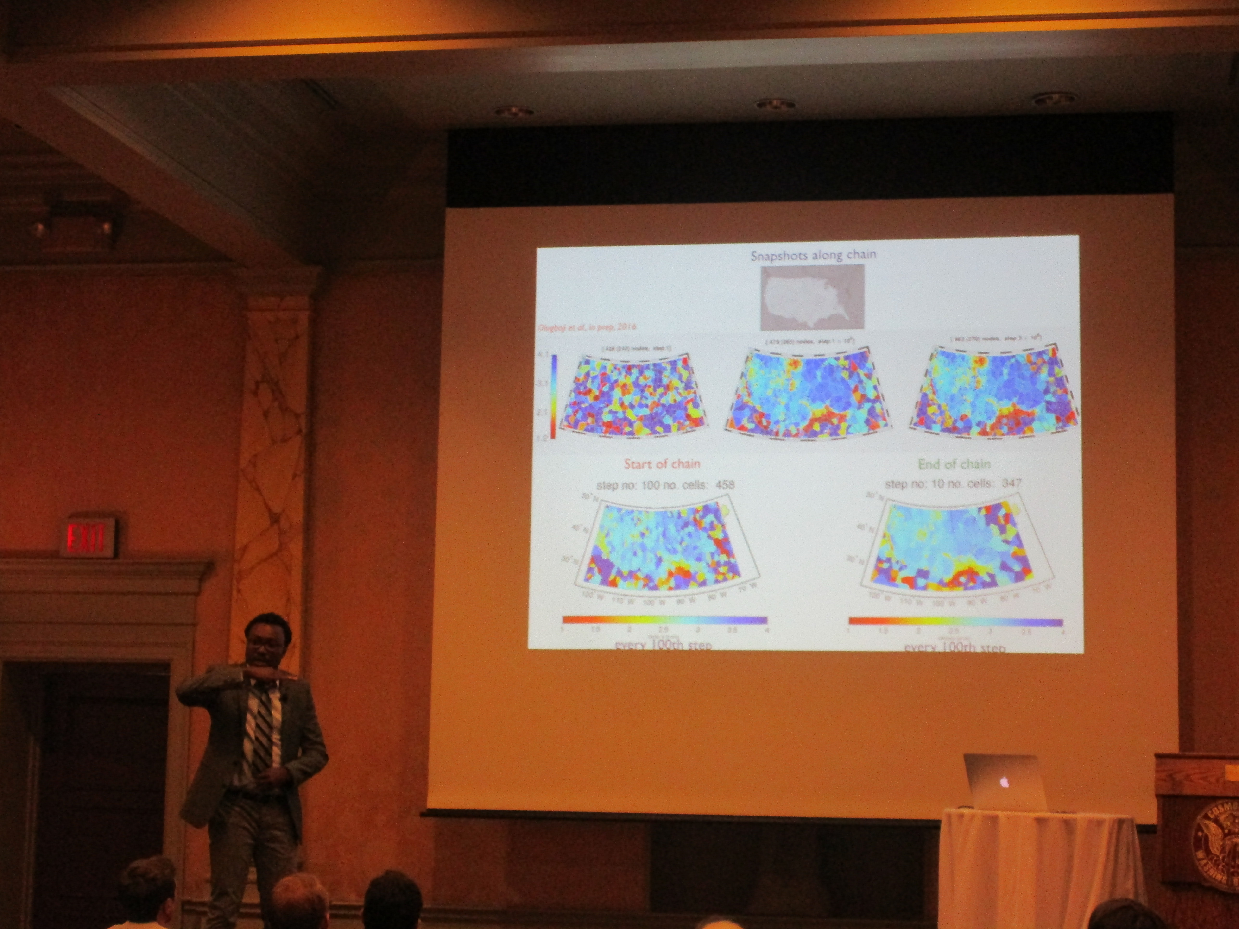
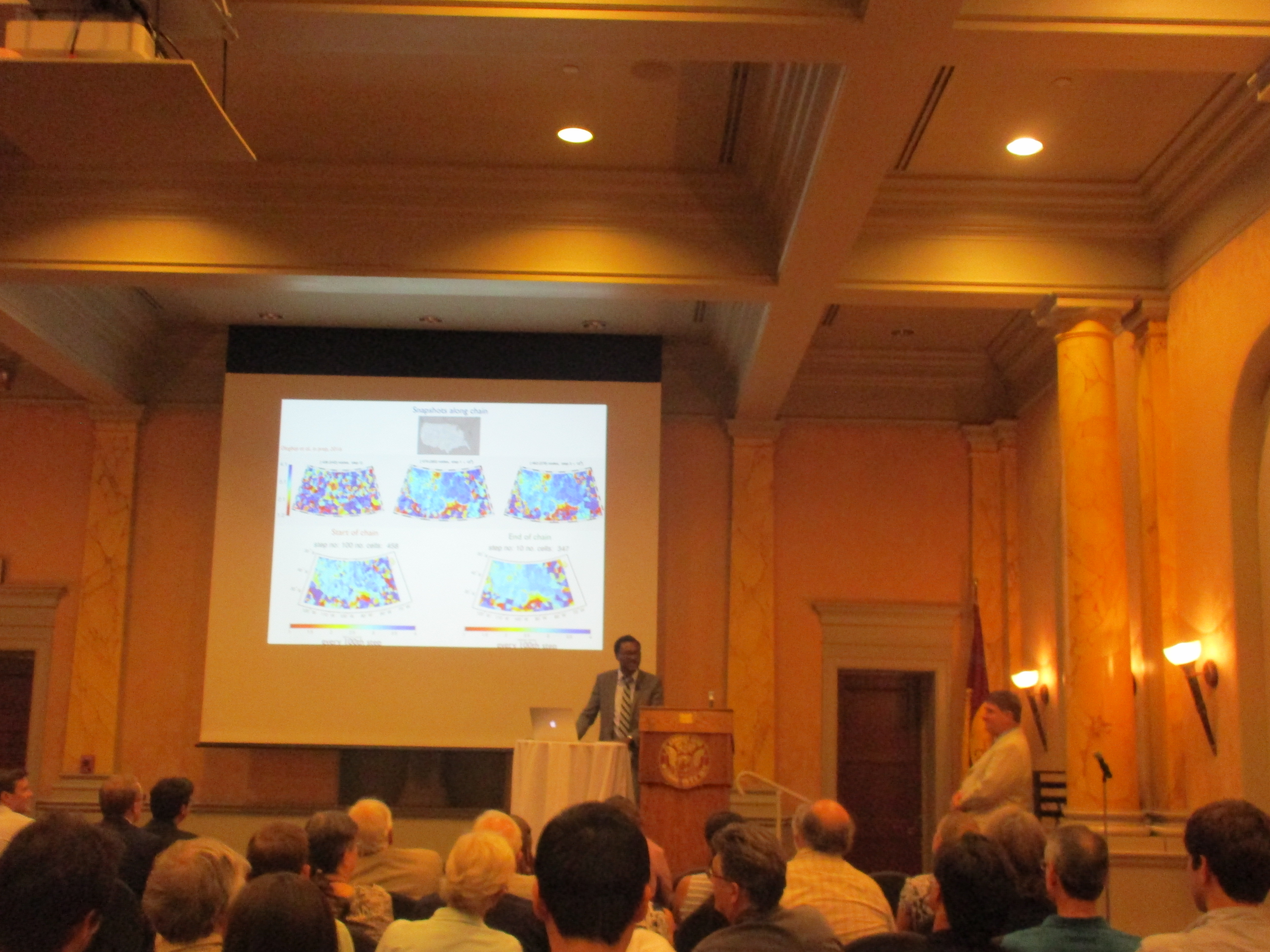
 Tonight, I presented my research at the Geological Society at Washington (Cosmos Club, #GSW). I was joined by the seismology group at the University of Maryland – Prof. Ved Lekic and Dr. Scott Burdick. The meeting was attended by geologists and the general public. Participants got to learn about how I use USArray Earthscope data to study the crust of the USA using surface waves extracted from ambient noise measurements.
I showed short period phase velocity maps of the USA, highlighting how we use high performance computing and probabilistic methods to generate the images with associated uncertainties. Some participants were interested in the computational cost, the benefits of the method compared to other linear search approaches, and how the images improve on previous methods to crustal imaging. As we move to the next stage of the project, we will present results of how the new images of the crust differ, to what degree, and how they can inform crustal regionalization schemes not limited by regionalization schemes derived from tectonics or surface geology.

